
“And you may find yourself in another part of the world.
And you may find yourself behind the wheel of a large automobile.
And you may find yourself in a beautiful house, with a beautiful wife.
And you may ask yourself, ‘Well, how did I get here?’” -Talking Heads
Well, imagine it's happened: an apocalypse, at least for you. You awaken without knowing where you are, how you got there, or even what year it is.
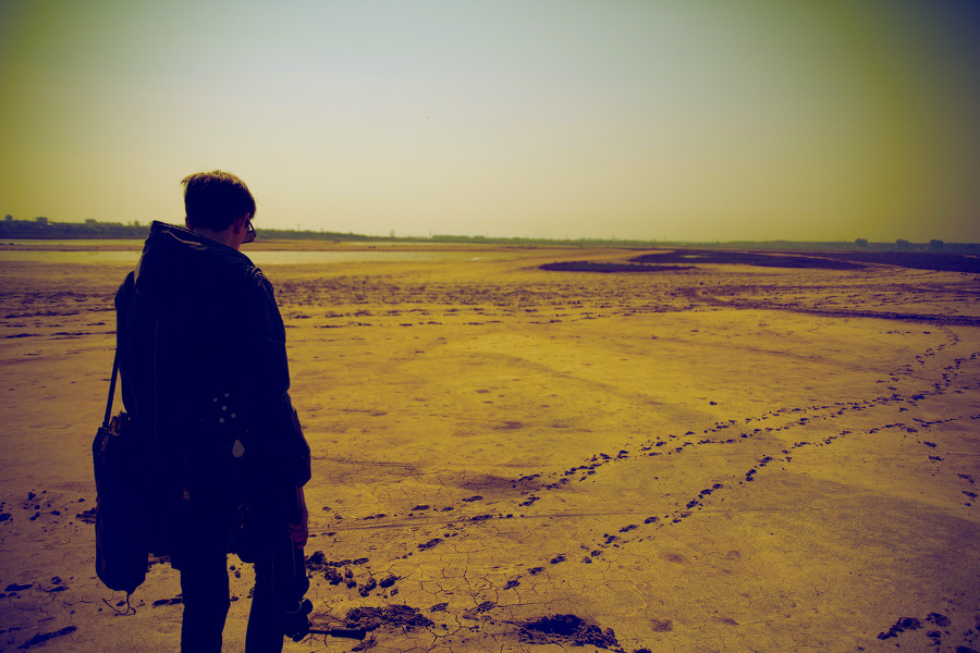 Image credit: ©2010–2015 SamuraiSunshine; photography from deviantART.
And for some reason, what you need to figure out is exactly where you are on Earth: your latitude and longitude coordinates. It might seem surprising, but this is actually quite a challenge, especially if you're talking about doing it using primitive tools! So how could we -- and how did we -- figure it out?
 Image credit: Adam Equipment, retrieved from Cole-Parmer.
Come find out the science behind learning exactly where you are!
- Log in to post comments
Interesting how different thermal expansion materials are combined to make a thermally insensitive beam. I can only think an easier solution -certainly in todays ubiquitous computing world, would be to construct two clocks with different thermal expansion coefficients, and use the difference between them to compute a correction factor.
Actually latitude in the northern hemisphere is easy to measure closely find the elevation of the north star. Do you have star charts? If so then you can at least figure out roughly when in the year it is by seeing which stars are up at night.
Finding Longitude is a major problem that is discussed in this wikipedia page:http://en.wikipedia.org/wiki/History_of_longitude
Note there were a couple of methods, 1 assuming you have a table of the positions of the 4 major moons of Jupiter, observe the planet, note the position of the moons and you get an idea of the absolute time (the time the ephemeris uses) and comparing it with the local time gives the longitude. Or if you have a chronometer set to GMT you can find your longitude. (That was the method adopted by the early 19th century). The article discusses the idea of of using the distance to the moon which was used for a while.
One part of what works depends if you are on land or at sea.
Now if its cloudy it becomes more difficult.
In essence the question raised is how did Lewis and Clarke and sea navigators find their location in the 19th century (before wireless)
@Omega Centauri #1: The trouble with your idea is that it assumes that both clocks work perfectly. If either one has some additional systematic uncertainty or bias, you end up with an incorrect result.
The great survey expeditions (the "Voyages of Discovery") of the 19th Century handled this by bringing multiple compensated clocks (like the Harrison clock, or its successors), and checking their performance against one another to get a mean value. The expeditions would also use known (i.e., previously determined) longitude locations to calibrate their clocks mid-voyage.
On the HMS Beagle (https://en.wikipedia.org/wiki/Second_voyage_of_HMS_Beagle), apparently 22 marine chronometers were used for this!
This method is offered more as an amusing factoid than a practical method, but...
Assuming you are not dropped in the ocean or deep arctic/antarctic, there's always the Jeff Corwin method. He's a herpetologist that's done a number of nature specials. One of them was: they drop him anywhere on Earth and he has to identify where he is within about 50 miles, in no more than 24 hours. The challenge was accepted and passed. He used his extensive knowledge of the species and variations of snakes (and other animals) to pinpoint where he was. :)
So the Jeff Corwin method for finding latitude and longitude:
Step 1: become world-class expert on snakes.
Step 2: find snake.
Step 3: use snake's species and subspecies varietal indicators to figure out where you are.
Now, I can see someone saying that that violates the "without any other information" component. But I disagree. In terms of the challenge, knowledge of snakes is not qualitatively different from knowledge of star locations and movement or the orbits of Jupiter's moons or other such things. They're both knowledge of how (different parts of) nature works. If one person is allowed the latter when he/she faces the challenge, someone else can have the former.
But the only thing you REALLY know about an average is that it is DEFINITELY wrong. Unless they are ALL the same, your average will have a proportion of time at the wrong rate included.
But all you really want with navigation is a mile accuracy. which is about a min in longitude, so you could get within range of a lighthouse, or see the shore. A set of chronometers would likley have an average that provided at least that accuracy.