
Prev: September 9th: Dresdener to Neue Regensburger
Next: September 10th: Neue Regensburger to Franz Senn
Another in the line of mountain climbing posts; I need to get them all out before next year. This one contains few decent photos because I failed due at least in part due to cloud; but its still quite instructive I think. Here's a portion of the GPS trace for orientation:

The green dot on the left is the summit, 3474 m. We'll be going back there in a future post. My high point this day was 3230 ish, say 250 m short, but more than just distance I had very little clue where to go. The green dot on the right is the col, with the Neue Regensburger hut much further right. I got up, pre-packed, for breakfast at 6:30; and gave myself 7 hours, because we wanted to go off to the Franz Senn in the afternoon. That's a bit tight, but not much, as the most likely fail was what happened, viz, not being able to find the route.
Summitpost waxes quite lyrical about the Ruderhofspitze: Of the 7 summits of the Stubai range over 3400m, Ruderhofspitze is the most central, the 3rd highest, and probably the most remote. This combined makes it a really great mountain and a noble aim. Which is quite Germanic, but also true.
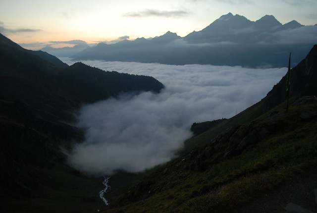
The day started well, with a beautiful cloud sea below the hut:
However, the clouds somewhat unsportingly chased me up the valley. By the time I'd got to the col (see end of prev for views up to the col) and looked up, I saw this:
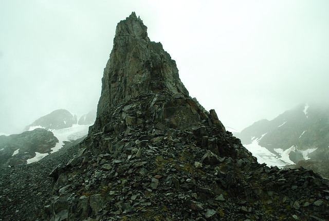
The central spire is the beginning of the Grawawand, clear enough as the long spine just north of my route. At that point - though I didn't really notice it at the time, and have only just realised it - the cloud is thin enough that the snow couloir leading up into the ?first? snow bowl is visible in the distance. Its more clearly visible in this Summitpost pic and looks somewhat intimidating in that picture. Quite what I'd have done if I'd managed to get that far in decent viz I don't know.
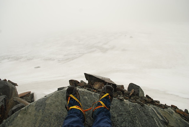
However, the cloud got worse. Here's me, a bit further up, sitting on the rocks for 15 mins or so thinking "I wonder if there'll be a big enough tear in the cloud to give me some hint of where to go":
And here, roughly, is my high point, with me thinking: I really don't know where I am:
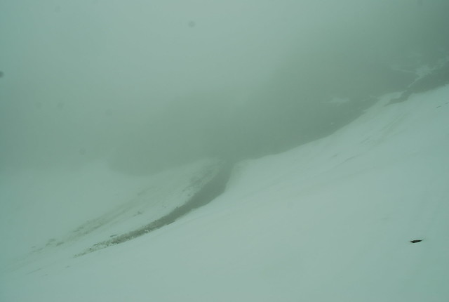
But judging from the GPS trace, I needed to be off left beyond the rockfall, probably going up the only-vaguely-visible snowpath leading upwards. Or maybe even further left, out of the pic. I'm really not sure. Anyway, at the point the weather clearly wasn't going to improve, my time was starting to run out, my appetite for wandering around unknown terrain on a day when it was pretty certain no-one would be around to hear my screams had declined, so I turned around and went back.
And, here's the hut:
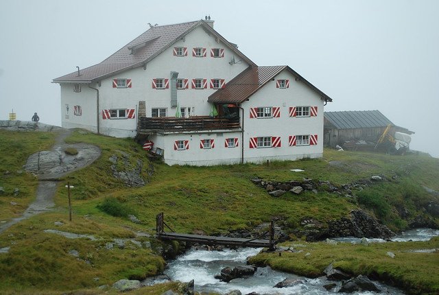
Nice pix of hut.
[Spammed -W]