
here we go again...

this is the map of earthquakes in the last 24 hours in Iceland,
kinda lit up there - nice illustration of the mid-atlantic ridge coming up from the south and south-west and bisecting the island
so that little cluster under Vatnajökull, that is Grímsvötn

Grímsvötn is a sub-glacial lake; also a significant extremophile site and of interest to astrobiology.
There is a volcano there, under the ice, and it is warm enough to continuously melt the ice, forming a lake; every few years the water pressure becomes high enough to break out from under the ice, giving us a jökulhlaup - a flash flood, this particular one is down Skeiðará - the rives come across the sands south of the glacier.
It was the last river bridged on highway 1 which circles Iceland, and the bridges have sacrificial ramps designed to break in major floods to save the bridges themselves.
They work, so far.
Highway 1 is closed, at Skeið[ará in anticipation of a flash flood.
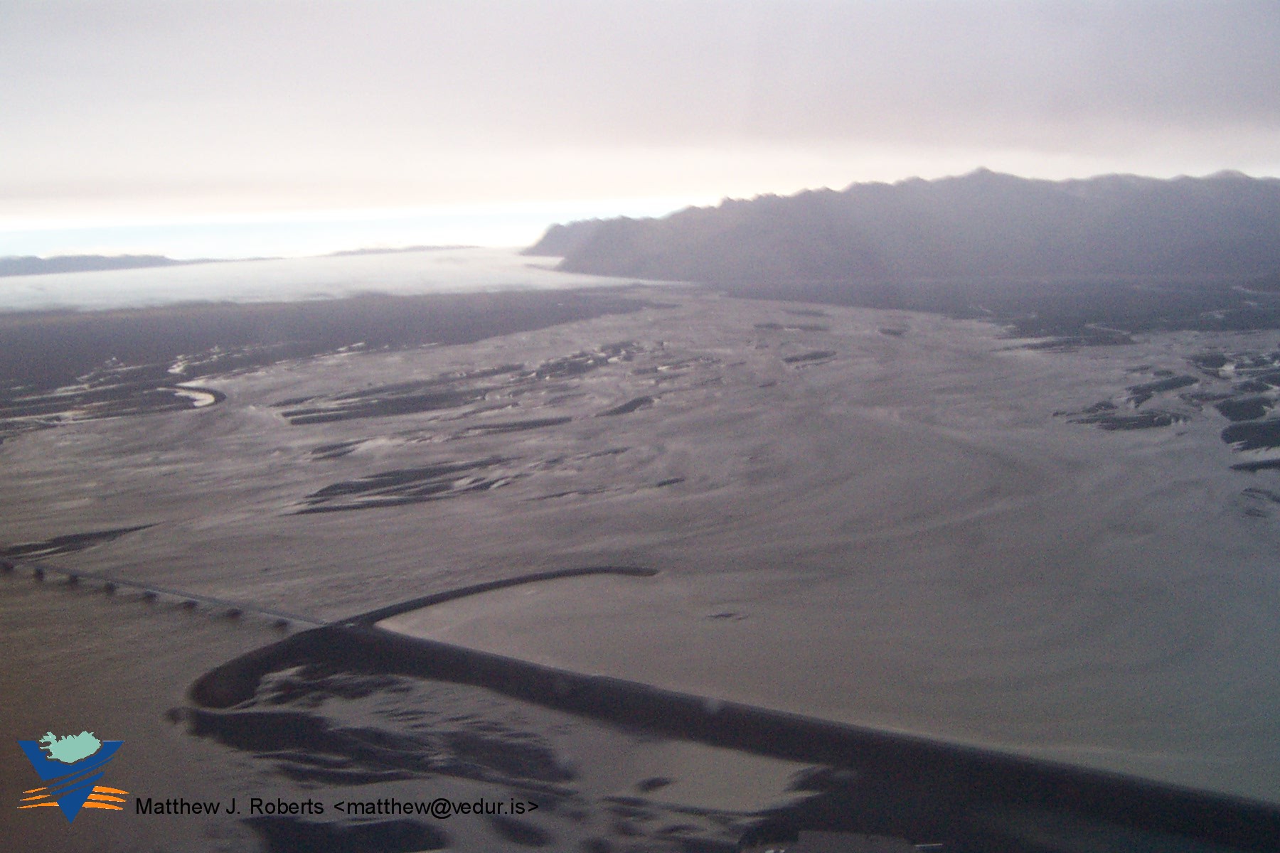
Skeiðarárhlaup 2004 (click to embiggen) - from vedur.is
Sometimes the volcano actually erupts,
the glacier then melts, a bit faster, and flood comes.
Last eruption was in 2004, it was little. The eruptions have been quite frequent in recent years and generally small.
Yesterday Grímsvötn erupted again.
This eruption, so far, is on the big side, though nothing humongous. Yet.
There is a decent size ash plume, reaching to maybe 60,000 feet (ok, it is the biggest since the 1947 Hekla eruption...)

from ruv.is
The ash is reportedly coarse, so not going high or far, though that could change as the lakes drain - flood should be coming out today.
There is a precautionary 200 km "no fly zone" around the eruption, for commercial traffic, mostly because of electric discharges from the cloud, and of course ash.
If the eruption stays on the big size, ash explosions and finer ash might affect transatlantic flights.
Track ash clouds for fun on Euro Satellite
The flood should hit today, be interesting to see how big it gets.
Ash is falling on local farms, and the head of the veterinary service is cautioning farmers to corral or bring in sheep, because of danger of poisoning.
mila.is has set up webcams
Apparently there is a S&R boy scout troop on the glacier by Grímsvötn, expect they're hustling back to town this morning, probably bringing some good pics.
Have taken a few photos and a video of the ash cloud in Iceland.
And also youtube video of the volcano
http://www.iceland-dori.blogspot.com
OK, context needed, please! What, with respect to boy-scouts, does S&R mean? My immediate response was Search and Rescue, and that it seemed unlikely that they'd draft minors for an area sweep of glaciers. Is it the local area name or something?
Hjálparsveit Skáta - it is indeed the Search & Rescue scout troop - they are mostly adults, including late teens, the highest level of the boy scout troops.
They had a squad up there, which as I understand it ended up in the hut on the glacier by GrÃmsvötn on saturday night.
They would have been up there for training exercises, and because it is fun - but didn't know an eruption was imminent.
As far as I know they came back down sunday.
These are impressive pictures, i hope that nobody got hurt in this eruption or in the aftermath. I know that Iceland volcanoes are quite active and can be quite dangerous.