Well, Eyjafjallajökull is bubbling along nicely, there is still some ash coming out, but not high enough to carry as far, and less of it.
And the wind is turning, so tomorrow Icelandic airports will close as the ash comes back west across the country.
There is also a curiousity on the ice cap above the Katla volcano.
Life, however goes on, and there is a new band in Iceland.
That I like.
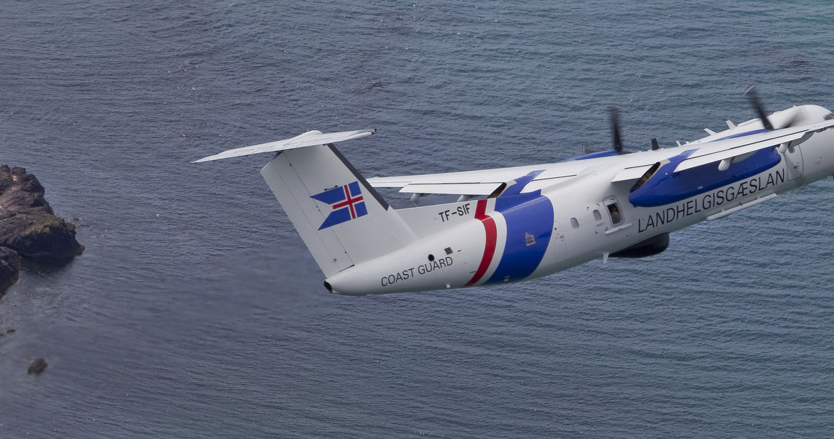
The Icelandic Coastguard sent their

new TF-SIF back over the eruption and got a new radar image of the caldera at Eyjafjallajökull
click to popup bigger image
yup, this caldera - the eruption has consolidated in the largest southern vent, which has expanded.
The left image has a scale map of Reykjavíl airport laid over it.
Remember, this is the little volcano.
Astronaut, from the debut album "Cave" available on gogoyoko
disclaimer - yeah, one of them is my cousin. That is true of almost all the bands in Iceland...
Now, TF-SIF, while she was up there and the weather was clear, took a photo:
That is Mýrdalsjökull - under it sleeps Katla - she is a meanie.
Now, look closely at the photo.
See the dimples in the ice.
Those are over the crater... almost like there is a heat source under the ice
But, did they use to be there?
Or are they new?
I don't know for sure.
Here are wiki images of the glacier from the air in July 2009 and another from Sep 2009
in the latter there is a dimple, though I can't match the scale or position
So, maybe something has started brewing under the ice, or not. We'll know soon enough.
h/t mbl


While the radar image gives a great overview without being blocked by ash, some details do not come across well (which is what you can expect with a much longer wavelength than visual light). Is the structure at the lower left side of the crater edge where the meltwater escaped? Or is that a feature outside the frame?
Whatever you do, don't call her Kevin!!!!
Yes, saw mention of a possible surface feature (ice cauldrons) over Katla crater, tacked on as an afterthought in a news article last week with accompanying photo. I posted a brief comment. I couldn't be sure if these ice cauldrons are new or not. There is a technical journal reference that has older ice cauldron features marked on an map depicting GPS/seismic stations and the position of EQs between 1992 and 2006, but I can't locate the authors/title and date, as it's a thumbnail graphic on a web-page without working links to the references cited (Volume Project devoted to Eyjaf/Katla). I tried magnifying the thumbnail to see if I could locate the Xs marking the ice cauldron features (mentioned in the graphic caption), but had no luck, as it's a small, low-resolution image.
Odd that IES hasn't said anything about them, as they would be expected to be keeping a sharp eye out for signs of unrest.