To the updates!
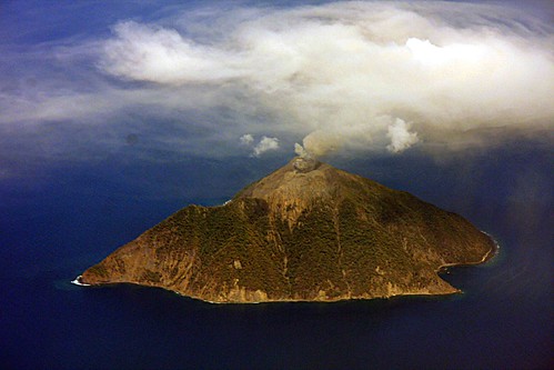
Batu Tara volcano in Indonesia. The volcano is currently producing small ash plumes.
- I was distracted enough by trying to figure out a way to teach about Miller Indices that I plum forgot to post this week's USGS/SI Weekly Volcanic Activity Report. It was a fairly quiet week so you didn't miss much. Enjoy it at your leisure.
- Rabaul must be positioned on the globe in such a way that NASA's Aqua satellite always gets a good shot at it. The Earth Observatory posted a new image of the plume from Rabaul and it looks thicker and more ash-laden than the image posted a few weeks ago. What this says about any potential future activity at Tavurvur crater at Rabaul is unclear, but it does show that the volcano is on a constant "simmer" right now.
Actually, at only 4 degrees from the equator, Rabaul is in the worst possible spot to be seen by polar-orbiting satellites. The orbits are furthest apart near the equator and closest together at high latitudes (in fact, both poles are imaged 16 times a day by each satellite). The instruments aboard Aqua and Terra each get a daylight shot at Rabaul about once every other day, but sometimes it is off to the side of the point under the satellite and is imaged at relatively low resolution.
I was hoping someone who knows more about the satellite's and their orbits would chime in. I suppose this means that Rabaul is just very photogenic to get into the NASA EO rolls so often ... not that I'm complaining.
If you're curious about orbits, read this: Catalog of Earth Satellite Orbits.
We feature Rabaul a lot because it's been so active lately, it's not always cloudy like it is in Patagonia, and the ash plume shows up well over the ocean.